mWater Surveyor: A Free Data Collection and Visualization Solution
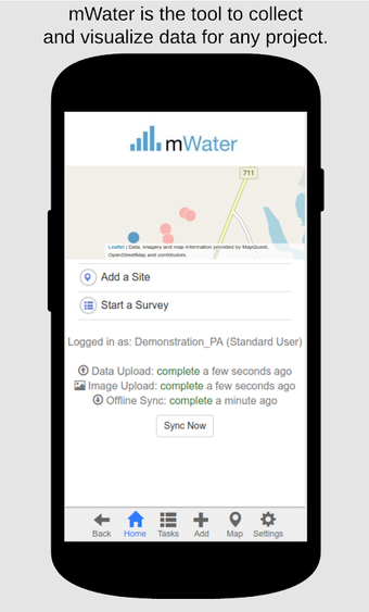
mWater Surveyor is a free data collection and visualization solution that helps in managing, mapping, and analyzing data for any project. The program is available on Android and is developed by mWater, a company that aims to provide simple and effective solutions for water management. With mWater Surveyor, users can record data for any surveys, map sites, and monitor them longitudinally with surveys, and track data over time for water points, water systems, communities, health care facilities, schools, and other infrastructure.
In addition, the program allows users to assign, receive, and complete tasks, upload photos, work offline, and sync data automatically when reconnected. With mWater Surveyor, users can analyze results in real time and design their forms. The program is available in 20 languages and is free to use forever. If you want to manage, map, and analyze your data, mWater Surveyor is an excellent choice.


